Sitting at the intersection of the Yuba and Feather Rivers, Yuba County has been described by the US Army Corps of Engineers as being “most prone to severe flooding of any river valley in the United States.” For this reason, it’s important that significant effort be made to reduce the risk of flooding as much as possible, and that Yuba County residents be informed of their personal flood risk. Fortunately, residents have several tools at their disposal to help them do that.
Leading the charge is Yuba Water Agency.
Formed in 1959 in response to a 1955 flood in next-door Sutter County that displaced 40,000 residents and killed 38, Yuba Water Agency has worked tirelessly over the decades to construct the New Bullards Bar Reservoir, to invest in strengthening the county’s levee infrastructure and to utilize technology to help reduce flood risk.
“We are always looking at opportunities to reduce flood risk within the county.”
Sami Nall
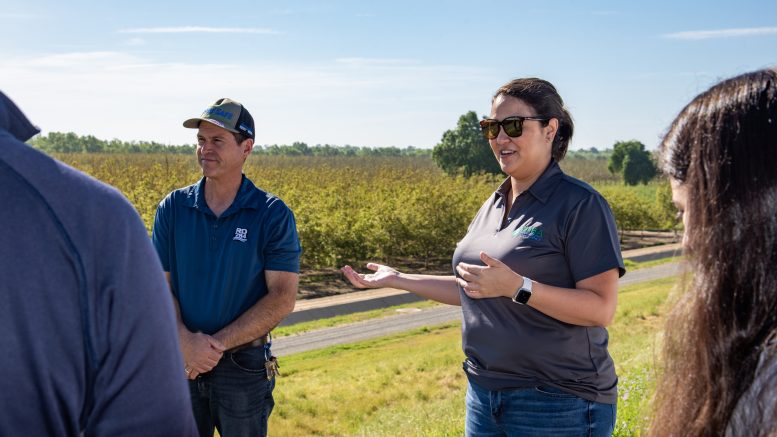
“We are always looking at opportunities to reduce flood risk within the county,” says Sami Nall, Flood Risk Reduction Manager for Yuba Water. To achieve this, the agency partners with federal, state and local agencies, looking at the entire watershed, from the headwaters of the Yuba River to its floodplains at the confluence with the Feather and Bear Rivers.
But while there are significant investments in infrastructure and technology, and Yuba County has some of the most modern levees in the state, there is still risk.
“There is always the possibility that a storm could come along that is bigger than our systems were designed to handle,” said Nall. “That’s why it is equally important that individuals be aware of their own flood risk.”
The first step is knowing where your particular flood source might be. In other words, for Yuba County residents, knowing where your closest river, creek or stream is. “Often individuals aren’t aware they live behind a levee,” said Nall. “It’s difficult to understand you are at risk for flooding, if you aren’t even aware that that mound of dirt is a levee, separating you from a fast-moving river.”
She adds that you can go to the FEMA website to look at your flood map. “FEMA has a lot of resources that can help inform you what your risk is. The flood maps are probably the easiest because they’re visual and you can put in your address and see what type of flood plain you live in.”
You can also sign up for alert services such as CodeRED, a phone and email alert service run by the Yuba County Office of Emergency Services. She also recommends following OES and Yuba Water Agency on social media. These social media accounts not only keep the public informed in times of emergency, but also educate on topics such as flood risk.
It’s also important that residents make preparations in advance of any evacuation notice.
“Everyone should have a go-bag,” Nall says. “Work with your family to determine what your emergency plan is.” You can learn more about emergency preparation when the county holds its “Be Prepared Fairs,” which Yuba Water partners with and participates in. With these fairs and other community events, Yuba Water staff are able to interact directly with the public and answer questions about flood risk and efforts to keep that risk as low as possible.
Additionally, there are measures people can take to reduce the cost of repairs for damage caused if a flood does happen.
“Work with your insurance agent to see if flood insurance is right for you. It might not be right for every single person, but it’s important to be informed about your options.”
Yuba Water partners with the Yuba County Office of Emergency Services to monitor current river forecasts and flows. Utilizing emergency alert tools like CodeRED, a free service provided by Yuba County’s Emergency Services Office, enables Yuba Water to make informed decisions during high water events. Residents can register for automated notifications here. For more information on Yuba Water Agency’s flood and disaster preparedness programs and projects, visit https://www.yubawater.org/.


