By Suzanne Nightingale
Blake Johnson, general manager for Reclamation District 900 in West Sacramento, is responsible for nearly 52 miles of earthen embankments and floodwalls protecting the port, city and adjacent agricultural land. Johnson’s four workers monitor the structures and perform basic maintenance.
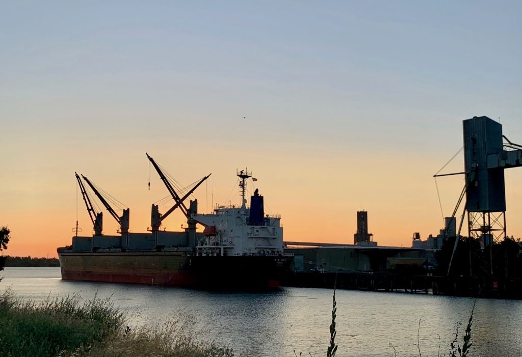
During a recent atmospheric river, these workers spotted a small slip-out along the Sacramento Deep Water Ship Channel’s bank. To plug the small hole along the canal before it became bigger, Johnson quickly rounded up 12 people to lay plastic sheeting and over 1,000 sandbags.
“In the event of a significant flood, you can only imagine what it takes to plug a hole,” he said.
West Sacramento’s levees are considered high risk because they protect a population of more than 50,000, and $4.35 billion in property value. In Monterey County, by contrast, a 74-year-old levee on the Pajaro River is so fragile that town residents regularly receive evacuation orders during heavy rain events. They have already lost lives to flooding. Despite a long history of costly failures, the levee has been rated as moderate risk because the total property valuation is less than a half-billion dollars ($481 million).
Across California, nearly 14,000 miles of levees stand between flood waters and residents, and anxious emergency managers plan for their failure, because levees were designed and built to reclaim floodplains for agriculture. It is only with population growth that levees have taken on a role for which they weren’t designed.
California has a long history of federal partnership in levee construction for reclamation. The US Army Corps of Engineers (USACE) maintains oversight, while most are managed locally. Annual federal allocations provide the bulk of funds for repairs, but the state and municipalities typically fund 25%.
In September 2022, the fragile Pajaro river levee received state project design funding. It was hailed as a long-overdue step toward equitable flood protection for the community of Pajaro, which had suffered historic disinvestment because of the recognized flood risk. The $400 million project will receive 65% federal funding.
Johnson explained the USACE-guided process begins with a thorough inspection and evaluation. The evaluation is reported with a preliminary estimate, according to Johnson. “Worst case scenario, this is the project that may have to be constructed. More geotechnical borings are done, and the project can get bigger or smaller,” Johnson said.
The design phase requires funding, and the construction phase is the most expensive. The process typically spans seven to nine years, explained Greg Fabun, flood manager of the West Sacramento Area Flood Control Agency. He currently has nine projects, with $1.2 billion implemented.
“Current bond funds are exhausted,” Fabun says. “Some projects are waiting for design funds, while the largest projects are well along for completion in 2023-24. The Corps is committed to these projects and they’re always true to their word.”
Visualizing the unimaginable

At 11:06 pm on March 10, 2023, during the year’s second atmospheric river event, the 3,000 residents of Pajaro received an evacuation order. Crews were working feverishly with sandbags and plastic, but failure was imminent. Less than an hour later, a breach opened in their levee. Within three hours the entire town was flooded, leaving residents facing months of displacement.
In an interview for KVIE in 2009, Jeff Mount, then a UC Davis professor of geology and founding director of the Center for Watershed Studies, said: “We’re hopelessly naive that somehow technology will solve this problem. We can’t manage the force of water. Water is the most powerful force. All we can do is try to accommodate it. You can’t fight it. It’s best to get out of the way rather than think that the Army Corps of Engineers is going to solve this by building big levees.”
Mount, now with the Public Policy Institute of California, spoke to the L.A. Times in March 2023 after the Pajaro flood, and said that while infrastructure work around Sacramento has reduced risk, many areas in the Central Valley and Los Angeles Basin face serious risk. “There are two kinds of levees: Those that have failed, and those that will fail,” he said.
Deirdre Des Jardins, director at California Water Research, explained how the U.S. Geological Survey (USGS) developed ARkStorm, natural disaster modeling to aid comprehensive emergency planning. ARkStorm 1.0, conducted in 2010, used existing flood models for the Central Valley, and, for the rest of California, developed new models under time and resource constraints. This resulted in concerns about the validity of the results, which were acknowledged in the ARkStorm report.
Nevertheless, Des Jardins expressed alarm that the Northern California Catastrophic Flood Response Plan, prepared by the California Governor’s Office of Emergency Services in 2018, neither drew from nor referred to ARkStorm 1.0. “Given recent extreme precipitation events around the world, this is concerning,” she said.
To offer greater confidence, new science and modeling tools were used for ARkStorm 2.0 and the findings reported in ScienceAdvances in August 2022. Researchers ran parallel simulations, comparing historical data with projections based on current climate models. Looking at a 30-day statewide precipitation accumulation, they predicted 200% to 400% greater flow into the Sacramento and San Joaquin watersheds, mostly due to the likelihood of less moisture falling as snow and more as immediate runoff.
Jay Lund, director of the UC Davis Center for Watershed Sciences, acknowledged the ARkStorm projections, while alarming, are likely valid. Speaking of levees in the vernacular he said, “There’s always the chance the flood will be greater than the pile of dirt you made.”
The flood control system depends on water managers executing a delicate dance to keep river flows within a range that won’t overwhelm levees. In February 1986, a 10-day atmospheric river hit California, delivering an unprecedented amount of rainfall. Levees weakened and failed, flooding 13,000 homes and businesses, and killing 13 people. Engineers from USACE were mobilized quickly to plan out repairs.
“Everything’s all under water now. It’s too late,” said a mother of six from the city of Linda, on February 22, 1986, speaking to Gov. George Deukmejian at an evacuation center housing 5,000 displaced residents.
Decades later, a lot has changed. Jason Ince, of the Public Affairs Office for the California Department of Water Resources (DWR), said understanding atmospheric rivers has been a key element of research and planning at the department. “This paid off during the 2023 storm events, with better forecasts with longer lead times, giving the public more time to prepare,” Ince said.
The DWR is also closely examining projected performance of the flood control system through 2072 under climate change scenarios.
Today, the USACE closely evaluates flood risks and proposes flood risk management measures tailored to each location’s and each community’s unique flood probability, exposure, and consequences, explained Tyler Stalker, the deputy chief of public affairs for USACE, Sacramento.
Johnson said West Sacramento is still working on a study of levee failure scenarios. Estimates suggest that some areas of the city could experience 5-8 feet of flooding, with more low-lying areas under up to 20 feet, similar to Natomas. Homeowners insurance does not cover loss of property caused by floodwaters, and Johnson recommends everyone carry flood insurance.
Investing fairly and wisely

As for building flood controls with storm projections in mind, Lund compared the tradeoffs to those involved in building a crash-proof car. At some point, the benefits will not be worth the cost of achieving a high level of safety. “With many forms of disasters, you want to be somewhere between complacency and panic,” Lund said. “In panic, you aren’t making very good decisions. If you’re completely complacent you don’t make enough investment decisions.”
Des Jardins said, “You look at where to invest money to protect lives, and we’re not doing that. We don’t have quantifiable targets about protecting lives and protecting vulnerable communities.”
Ince outlined the DWR’s current goals for achieving 200-year flood protection for urban areas and 100-year protection for small communities in the Central Valley: a $30 billion in investments over the next 30 years, with $16 billion from the state and the rest from the USACE.
For its part, the USACE is working toward climate readiness, in a collaborative effort to better understand worldwide hydrology and weather as it impacts military readiness and homeland security, said Stalker.
Options to reduce risk

Lund said the most cost-effective risk-reduction approach is to steer vulnerable activities away from even the rarest floods.
Passive floodplains are a less technical solution that offer the bonus of groundwater recharge. The Sacramento weir feeds the Yolo bypass, a floodplain on a scale matched only by that on the Mississippi river at Cairo, Illinois, and a few sites in Europe and Asia.
This year, flow in the bypass came from overtopped weirs around Woodland, and not from the Sacramento River and weir. The panels in the weir were not pulled, explained Johnson. “They had days chosen to pull it, and because of predictions they didn’t have to do it,” he said.
“There’s discussion of building a smaller, somewhat similar bypass in the San Joaquin valley,” Lund said. “This is a much drier valley.”
The DWR portfolio of projects includes wetland management and restoration, which reduces the amount of downstream flow. They are also investing in ways to improve the overall system efficiency reservoir operations strategies, according to Ince.
Johnson described how flows from the American River can overwhelm its channel, pushing water upstream into the Sacramento, which takes drainage from Oroville, Shasta, the Yuba and Feather rivers. “If an atmospheric river were to hit from south of West Sacramento to Redding, and they have to start opening gates, it all comes by West Sacramento,” said Johnson.
The Sacramento weir is being augmented by 1,500 feet of adjacent passive weir, currently under construction at a cost of $172.9 million. The state provided 25% and the USACE picks up the rest. “That will help out at decreasing the water surface elevation,” said Johnson.
Everyone needs to be prepared

Ince said residents have a variety of smartphone resources for staying aware of weather events and flood risks. FEMA’s app will send real-time alerts customized to the location set in the app, in addition to providing disaster help. The National Weather Service recommends adding their mobile web page to the home screen on an Apple or Android phone. Since local managers issue evacuation orders, counties often have text message alert systems. Californians can also sign up for Wireless Emergency Alerts through CalOES and the Wireless Emergency Alert system.
Johnson’s team practices annually in role playing and simulations that bring together the emergency services organizations that would be mobilized for a flood event. “They have to be prepared for something nobody in the system has lived through,” said Lund of the statewide training ahead of storm season.
“When we ask to raise taxes to do this,” Johnson said, “nobody wants to pay taxes. Living in an area like this, the consequences are significant if a failure were to occur.”
This story was done in collaboration with Sacramento City College’s journalism department.


Be the first to comment on "From West Sacramento to the Pajaro River, an army of flood fighters is confronting threats through natural intelligence"